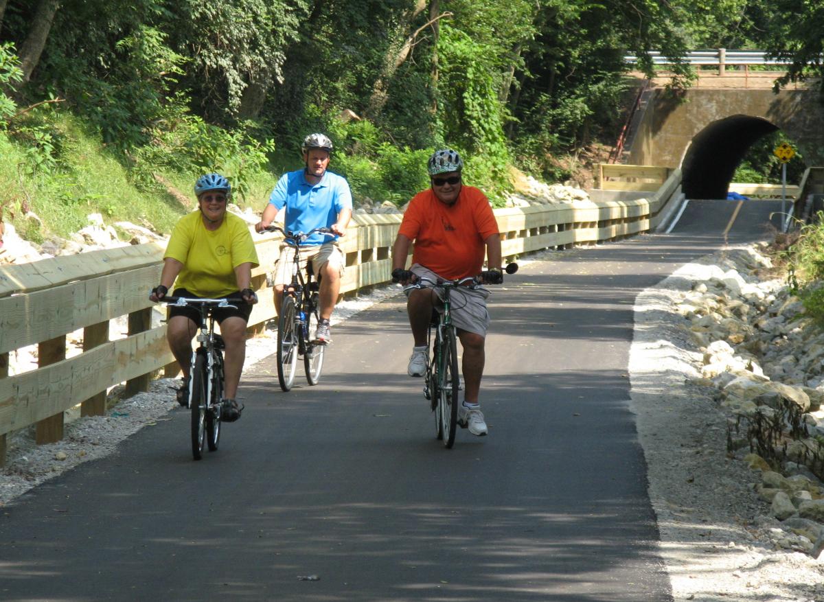
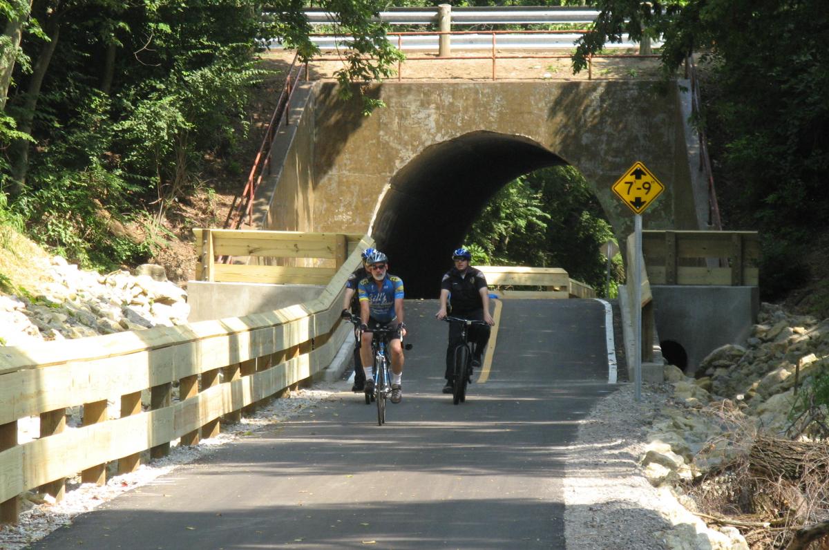
The Dayton-Kettering Connector ("The DKC") follows, in part, an historic rail line that served the NCR factories in south Dayton. Today it provides a beautiful, direct, not-too-steep, and safe route for cyclists to get from the densest parts of Montgomery County into downtown Dayton. Along the way you'll pass some of the area's important cultural institutions - The Fraze Pavillion and the University of Dayton.
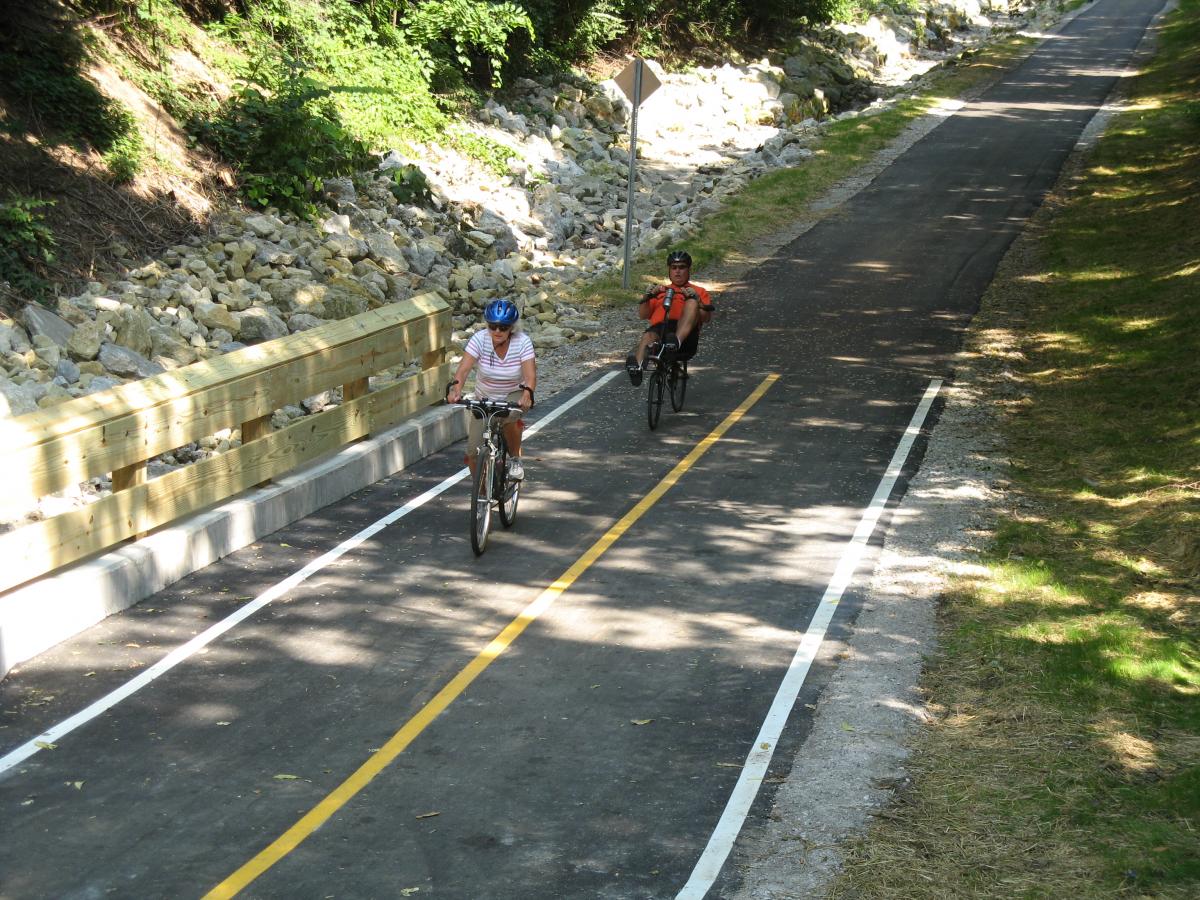
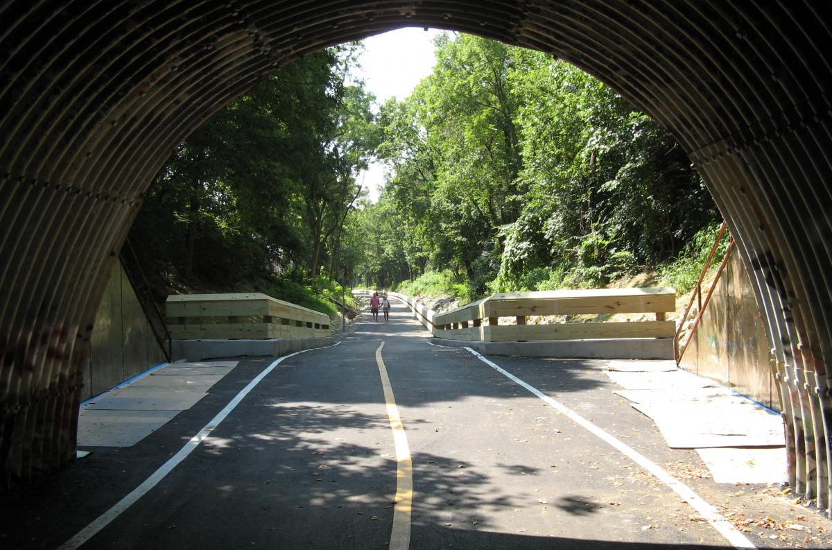
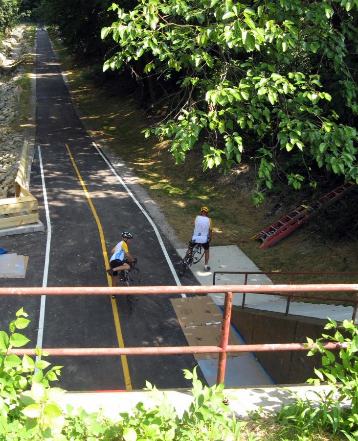
The Dayton-Kettering Connector is a unique trail/bike route combination in the Miami Valley Trails network. The overall route connects some of the densest suburban cities in the region to downtown Dayton, so it provides an ideal commuting route for residents of Centerville, Washington Township, Kettering and Oakwood. Along the way there are nearly 2 miles of beautiful trail to enjoy along an historic railroad right-of-way. That trail portion provides a gentle climb into the south suburbs, not found on any of the roadways heading the same way.
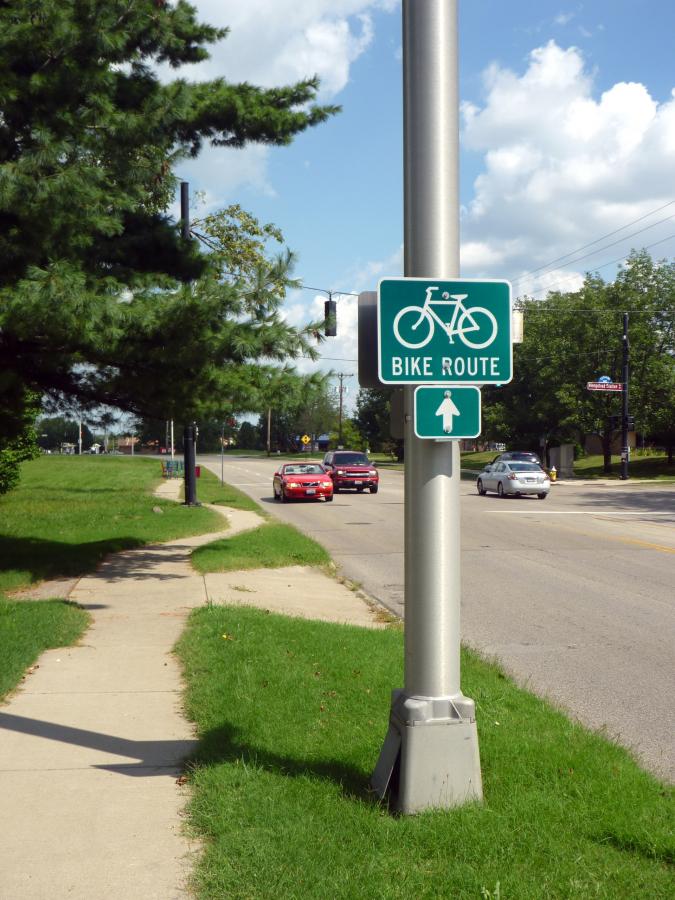
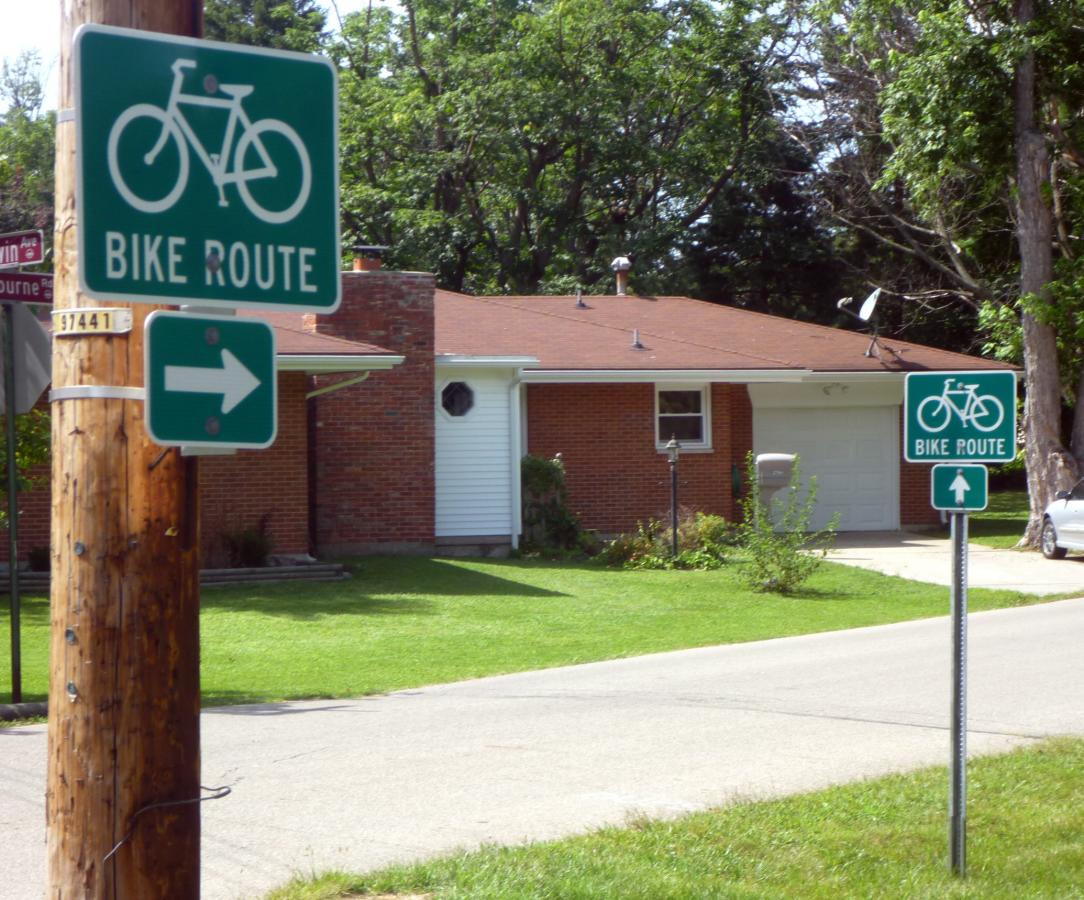
The trail runs north from Wiltshire Boulevard (near the intersection with Acorn Drive) across Shroyer Road, under Patterson Road, across Irving Ave and onto the University of Dayton campus. The trail portion ends at the corner of Trinity Avenue and Lowes Streets in Dayton. South of the trail in Kettering and north of the trail in Dayton, look for bike lanes, sharrow markings and "Bike Route" signs to guide you along the rest of the route.
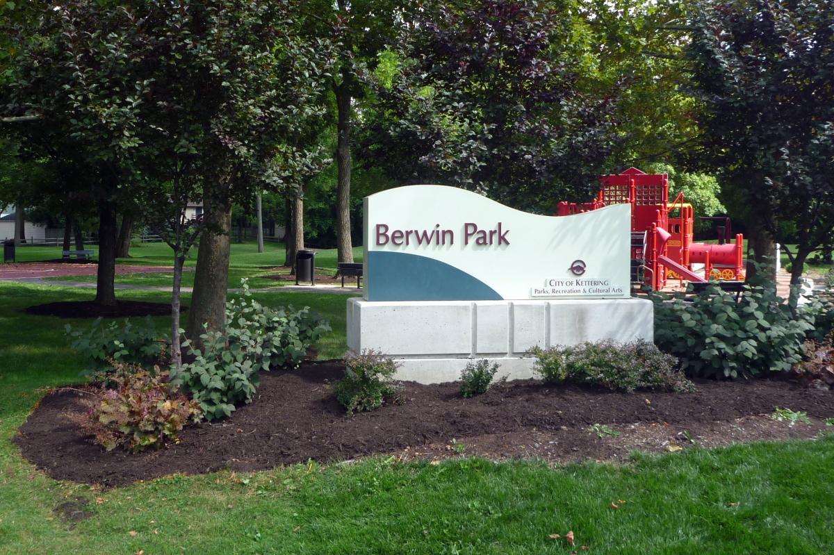
In Kettering, the route heads south on Acorn, and then south on Colonial and then crosses Dorothy Lane onto Ackerman Boulevard. Follow Ackerman all the way to Lincoln Park, site of Kettering's Fraze Pavilion. To continue on the DKC, turn left at Lincoln Park and continue to follow the "Bike Route" signs through leafy Kettering neighborhoods. After crossing Marshall Road, and passing Berwin Park, you will arrive at the north end of the Iron Horse Trail (9) at Hempstead Station Road.
In Dayton, the on-street portion winds through the UD student housing neighborhood to Brown Street, where the bike lanes begin at Caldwell Street. The bike lanes continue to Wyoming Street - for now. A future project will connect these bike lanes to the existing bike lanes on Jefferson and St. Clair Streets in downtown Dayton. The route reaches its northern end at RiverScape MetroPark with connections to the Great Miami River Trail (25) and the Mad River Trail (8).
Area Attractions
PDF Map
Less Detail