Trail Guide
| Length | 19 miles, includes all loops and branches |
| Connecting Trails | Creekside Trail, Dayton-Kettering Connector |
| End Points | Iron Horse Park, Clyo Road (south) to Creekside Trail (north). |
| Counties | Montgomery |
| Cities & Towns | Centerville, Kettering, Dayton. |
| Surfaces | Paved, multi-use. Shared roadway on Hempstead Station Drive and Glengarry/Powhattan Dr. |
Trail Summary
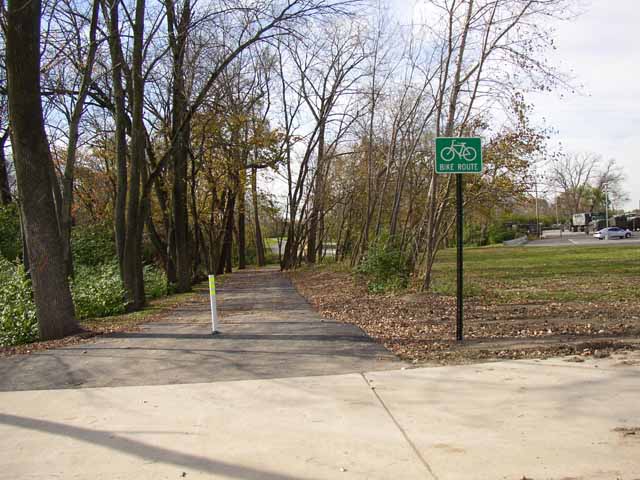
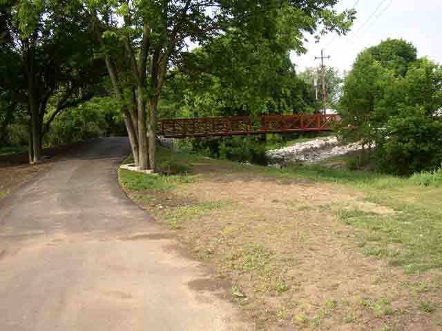
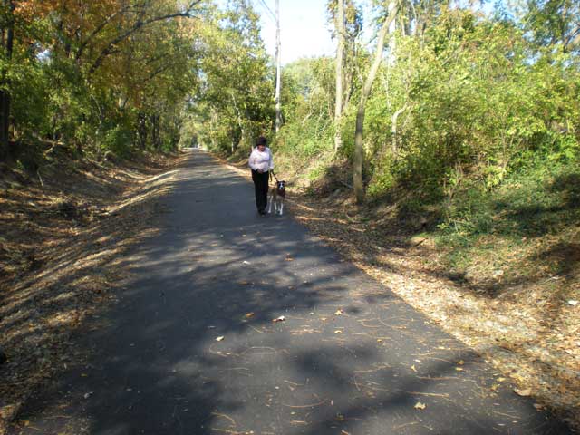
Making its way along a preserved rail corridor, the Iron Horse Trail is a natural oasis in suburban southern Montgomery County.
More Detail
The Iron Horse Trail is a network in itself. The trail begins in Iron Horse Park, site of an historic railroad yard. A branch heads east and south, across I-675 along Bigger Road to Clyo Road and Alex Bell Road. A branch heads north - a combination of trail, shared roadway and wide sidewalk - to Stroop Road then around to the east past the Greene, the Kettering RecPlex and then north to the Creekside Trail.
Nearby Delco Park has looping walking paths and a BMX bike track to try your racing skills.
Area Attractions
PDF Map
Less Detail
Trail Guide
| Length | 19 miles, includes all loops and branches |
| Connecting Trails | Creekside Trail, Dayton-Kettering Connector |
| End Points | Iron Horse Park, Clyo Road (south) to Creekside Trail (north). |
| Counties | Montgomery |
| Cities & Towns | Centerville, Kettering, Dayton. |
| Surfaces | Paved, multi-use. Shared roadway on Hempstead Station Drive and Glengarry/Powhattan Dr. |