Trail Guide
| Length | 18.5 miles (total) |
| Connecting Trails | Great Miami River Trail |
| End Points | South segment: Great Miami River Trail (south) to Little Richmond Road (north) North segment: Vickwood Road (south), Trotwood to Village of Verona (north) |
| Counties | Montgomery |
| Cities & Towns | Dayton, Trotwood, Brookville, Verona |
| Surfaces | Paved, multi-use |
Trail Summary
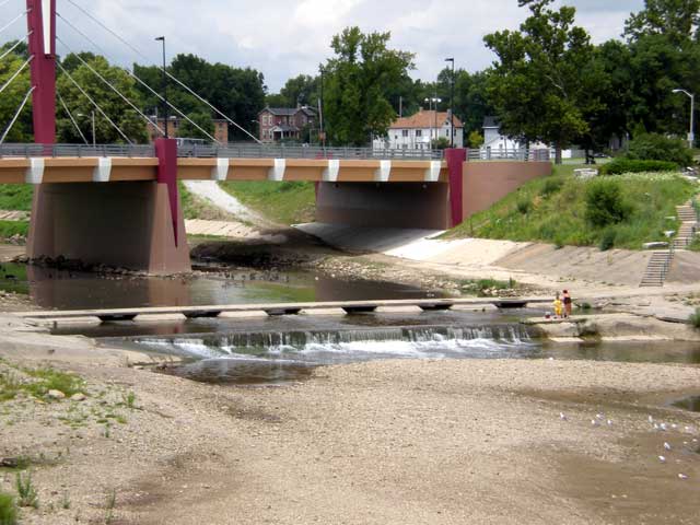
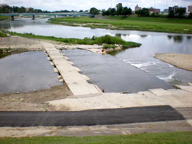
The Wolf Creek Trail begins where Wolf Creek intersects the Great Miami River near downtown Dayton. Heading northwest, the trail follows along the creek—one of five waterways that give Five Rivers MetroParks its name. In western Montgomery County, the route follows an historic rail corridor, making a beeline for Brookville and Verona, Ohio.
More Detail
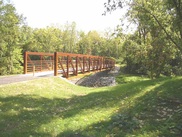
The south segment closely follows Wolf Creek into west Dayton. Upstream of Rosedale Drive the trail is on both sides of the Creek. The route crosses the Creek beside Rosedale Avenue and then continues upstream, including 1,700 feet on West Riverview Ave to the north entrance to Wesleyan MetroPark. A scenic switchback trail brings you down to the banks of Wolf Creek and then back up to Adventure Central. To the south of the Creek, a route along James H. McGee Boulevard provides access to the neighborhoods and businesses along this bustling route. The McGee Boulevard route extends past Adventure Central at Wesleyan MetroPark and ends at Little Richmond Road. A challenging road ride can be used to bridge this gap. Consult a map for connecting roadways.
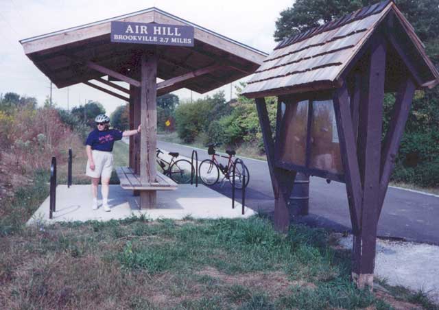
The northwestern segment of the Wolf Creek Trail follows an abandoned railroad route. Starting at the historic rail station in downtown Trotwood, the trail passes the Trotwood Community & Cultural Arts Center. This portion is relatively flat for most of its length as it passes alongside Sycamore State Park. Here, you'll find a variety of activities found in most Ohio state parks: hiking trails, ponds, prairies and plenty of picnic areas. The park is notable for its preservation of prairies and open fields filled with native grasses and wildflowers. Heading further northwestward the trail winds through rolling farm fields on its way to Brookville and past Golden Gate Park. From here, there is a safe underpass at I-70 and the trail heads to the very northwest, rural corner of Montgomery County ending in the Village of Verona.
Area Attractions
PDF Map
Less Detail
Trail Guide
| Length | 18.5 miles (total) |
| Connecting Trails | Great Miami River Trail |
| End Points | South segment: Great Miami River Trail (south) to Little Richmond Road (north) North segment: Vickwood Road (south), Trotwood to Village of Verona (north) |
| Counties | Montgomery |
| Cities & Towns | Dayton, Trotwood, Brookville, Verona |
| Surfaces | Paved, multi-use |