Trail Guide
| Length | 10.7 miles (includes Flying Field loop) |
| Connecting Trails | Mad River Trail |
| End Points | Huffman MetroPark (west) to Fairborn city limit on YS-F Road (east) |
| Counties | Greene |
| Cities & Towns | Wright-Patterson AFB, Fairborn |
| Surfaces | Paved, multi-use |
Trail Summary
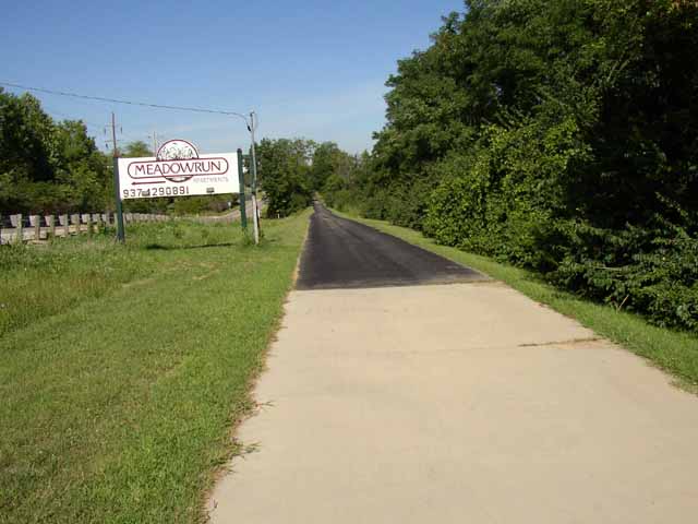
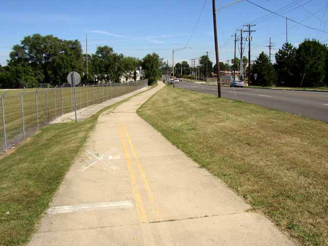
Fairborn's Wright Brothers-Huffman Prairie Bikeway, part of the statewide Buckeye Trail, is a 10-foot- to 12-foot-wide urban trail linking downtown Fairborn with the Huffman Reserve MetroPark, passing the Wright Brothers Memorial Park, a unique part of the Dayton Aviation Heritage National Historic Park. This trail also provides a connection into the campus of Wright State University. Please note, in Greene County only, horses are permitted on this trail.
More Detail
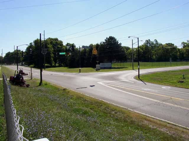
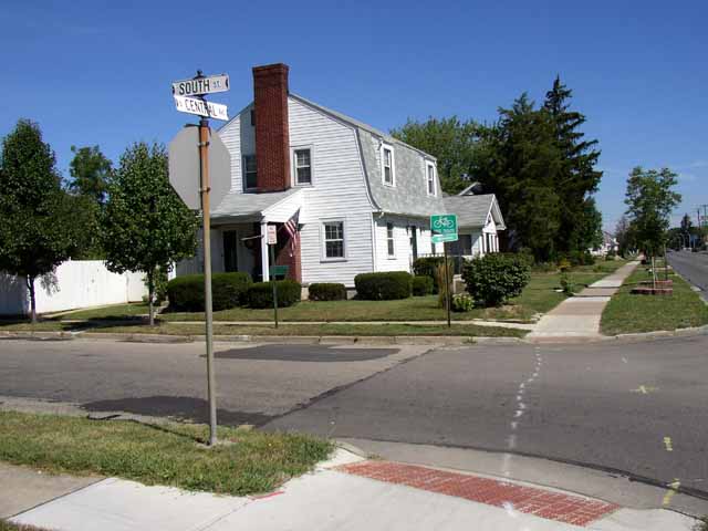
Starting at teh eastern end of the City of Fairborn, along Yellow Springs-Fairfield Road, this route passes through Fairborn's downtown business district at South Street and Central Avenue, the bikeway follows Kaufman Avenue along the boundary of Wright Patterson AFB, passing Wright State University just to the south.
Just off the trail (and up a steep climb) is the Wright Brothers Memorial, with the National Park Service interpretive center. The grounds here feature Native American burial mounds and provide a spectacular view of the Mad River Valley to the north. From this trail you may access the Huffman Prairie Flying Field, another segment of the National Park, preserving the location where the Wright Brothers perfected controlled, powered flight. The bikeway currently ends atop the Huffman Dam, one of five flood control dam’s built by the Miami Conservancy District after the 1913 flood. In June 2013, the Mad River Trail extension completed the connection of this trail to the larger network, through Montgomery County.
Area Attractions
PDF Map
Less Detail
Trail Guide
| Length | 10.7 miles (includes Flying Field loop) |
| Connecting Trails | Mad River Trail |
| End Points | Huffman MetroPark (west) to Fairborn city limit on YS-F Road (east) |
| Counties | Greene |
| Cities & Towns | Wright-Patterson AFB, Fairborn |
| Surfaces | Paved, multi-use |