Trail Guide
| Length | 18.5 miles |
| Connecting Trails | Little Miami Scenic Trail, Creekside Trail, Ohio-to-Erie Trail (all connections at Xenia Station) |
| End Points | Xenia (west) to Allen Road in Octa (east) |
| Counties | Greene, Fayette |
| Cities & Towns | Xenia, Jamestown, Octa |
| Surfaces | Paved, multi-use. |
Trail Summary
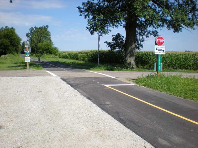
The construction of the US-35 tunnel in 2014 Connected this trail to the full Miami Valley Trails network. The Connection into Fayette County was opened in 2022, allowing travel all the way to Octa, OH. There are 18.5 miles of this trail to enjoy in rural Greene and Fayette Counties. Please note, in Greene County only, horses are permitted on this trail.
More Detail
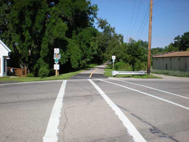
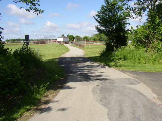
The Jamestown Connector is a rail-trail conversion of the abandoned CSX rail line heading east from Xenia through Jamestown to the Fayette County line. There it connects to the Tri-County Triangle Trail segment to Octa. A good staging area along the reach is Frank Seaman Park, located on Cottonville Road in Jamestown next to Greenview High School. Future plans envision completing an eastern extension from Octa to Washington Court House.
After passing through Jamestown’s nice historic downtown, the Xenia,-Jamestown Connector makes a nearly straight path for Xenia, and the Xenia Station through rural Greene County. Once at Xenia Station, the hub of four trails in Greene County, riders may choose to head north, south, west or north-east.
Area Attractions
PDF Map
Less Detail
Trail Guide
| Length | 18.5 miles |
| Connecting Trails | Little Miami Scenic Trail, Creekside Trail, Ohio-to-Erie Trail (all connections at Xenia Station) |
| End Points | Xenia (west) to Allen Road in Octa (east) |
| Counties | Greene, Fayette |
| Cities & Towns | Xenia, Jamestown, Octa |
| Surfaces | Paved, multi-use. |